Image collection »Sill«
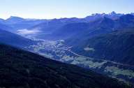
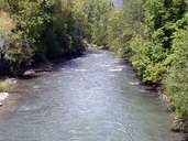
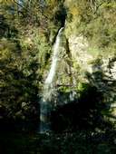
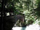
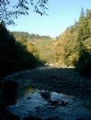
The Sill has its source at the main crest of the Tuxer Alps, at the border between North and South Tyrol. The river runs through the Wipptal in North Tyrol, which is well known because of the transit traffic on the Brenner Highway going through the valley. The river runs through a narrow gorge most of the time. Before the river reaches Innsbruck it runs through the Silltal and the narrow Sill Gorge.
|
|
|
|
|
|
Further links: Hazards Chronicle Tyrol, Weblink »Wikipedia«