Image collection »Plima«
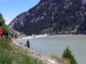
The source of the Plima lies within the Ortler Mountain Range, under the Zufallspitze at an altitude of nearly 3800 metres above sea level. The river runs through the Martell Valley with the villages of Gand and Morter and flows into the Etsch near Latsch. There are several reservoirs and hydroelectric power plants along the river. The largest reservoir is Zufrittsee. Sometimes the riverbed falls dry before the Plima reaches the Etsch.
|
|
Further links: Hazards Chronicle Tyrol, Weblink »Wikipedia«