Image collection »Ruetz«
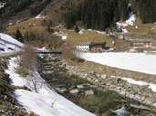
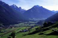
The Ruetz runs through the Stubaital. Its water comes from the glaciers of the Stubaier Alps and meets the Sill south of Mutters. The water of the Ruetz supplies several hydroelectric power plants, such as the Ruetz power plant near Schönberg. The villages within the Stubaital rely heavily on tourism.

|

|
|
Further links: Hazards Chronicle Tyrol, Weblink »Wikipedia«
