Image collection »Inn«
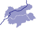
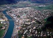
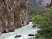
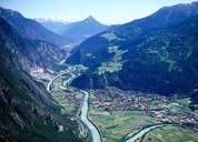
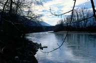
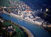
The Inn has its source at the Maloja Pass in Switzerland. It enters Austria at Finstermünz. The Inn first runs through the Obere Gericht region before it runs through the Inn Valley from Landeck onwards due east. At Kufstein the Inn leaves the Tyrol behind. At Passau the Inn flows into the Danube. Its several tributary streams supply the Inn with water from the glaciers. Most of the populated area in the Tyrol lies along the Inn. Throughout the centuries numerous cities were founded at the river, such as the provincial capital Innsbruck, Rattenberg, Hall and Kufstein. Before the construction of the railway in the 19th century the river was an important traffic route. Today only boats for tourists are to be found on the river. Its water is used to generate electricity from several hydroelectric power stations.
|
|
|
|
|
|
