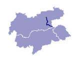
Image collection »Ziller«
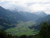
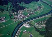
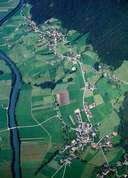
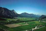
The Ziller has its source on the glaciers of the Zillertaler Alps at the province's border to Salzburg and South Tyrol. In its upper reaches the Ziller is a torrent running through the Zillergrund. At Mayrhofen it meets the bottom of the valley. The Ziller meets the Inn at Strass. In former times this area was boggy land in which Malaria was to be found. The Zillergründl Reservoir lies in its upper reaches providing the water needed to generate electricity.
|
|
|
|
|
|
Further links: Hazards Chronicle Tyrol, Weblink »Wikipedia«
