Image collection »Passer«
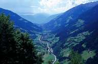
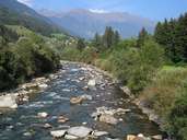
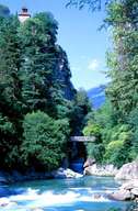
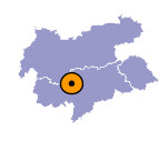
Some of the water of the Passer comes from an altitude of 3500 metres above sea level. The Passer runs through the Passeier Valley through the villages of St. Leonhard and St. Martin and flows into the Etsch. There are several smaller hydroelectric power plants along the river.

|

|

|
|
Further links: Hazards Chronicle Tyrol, Weblink »Wikipedia«
