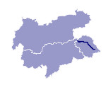
Image collection »Isel«
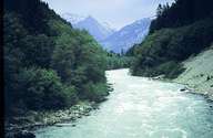
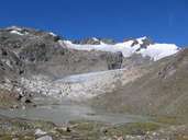
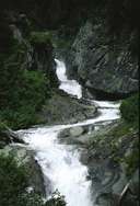
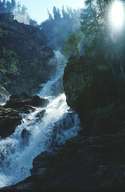
The Isel runs through the Umbal-, Virgen- and Isel Valley. The river starts as a torrent within the glaciers of the Venediger Mountain Range and meets the Drau in Lienz. The famous Umbal waterfalls are situated in the river's upper reaches. The Isel and the Drau are the most important rivers in East Tyrol.
|
|
|
|
|
|
Further links: Hazards Chronicle Tyrol
