Image collection »Prättigau-Davos«
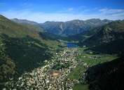
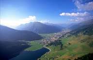
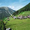
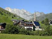
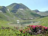
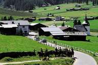
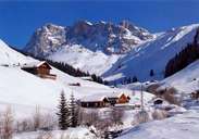
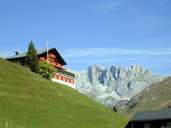
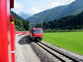
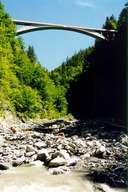
The political district of Prättigau/Davos is also a geographical unit. The catchment area, the Landquart, marks the boundary of the district. In the west the Prättigau is cut off by an arched rock, der Klus. For a long time this gorge proved to be very problematic in the contruction of roads. In the 1840s a road began to be built in a number of stages until the road finally led to Davos in the 1860s. In the 1890s the narrow-gauge railway to Davos was opened. Transport facilities also brought in the tourists. The first hotels were built in the spa of Klosters which is still one of the most important tourist villages in the region. From a farming point of view, cattle and dairy farming have always been important, arable farming has never played a role due to the rainfall which is too high. A particular emphasis is laid on the preservation of the alpine pastures.
|
|
|
|
|
|
|
|
|
|
|