Image collection »Rosenheim«
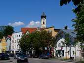
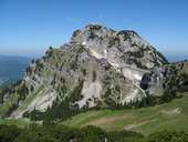
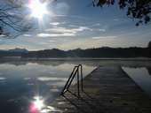
The district of Rosenheim can be geomorphologically divided into three parts: from north to south there are the Alpenvorland, the Voralpenland and the Bayerische Alpen. The morainic ridges that were deposited by the Inn Glacier during the ice age are still clearly visible. The western part of the Chiemsee with its islands Frauenchimesee and Herrenchiemsee belongs to the district of Rosenheim. There are also big spas and rehabilitation resorts (Bad Aibling, Bad Feilnbach, Bad Endorf, Prien and Vogtareuth). At the heart of the district is the town of Rosenheim which is not a district and does not, from an administrative point of view, belong to the district of Rosenheim.
|
|
|
|
|
|
Further links: Weblink »Rosenheim«, Weblink »Wikipedia«