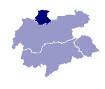
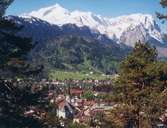
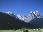
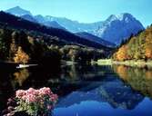
Image collection »Garmisch-Partenkirchen«
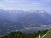
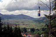
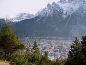
In the north the district of Garmisch-Partenkirchen is part of the Voralpenland and in the south the Bayerische Alpen which includes the Zugspitze (2963m) Germany's highest mountain. Approx. 50% of its area is under conservation or preservation order. The Ammergebirge range is Bavaria's biggest natural conservation area. Around 210 AD a Roman military road was built from Augsburg via Garmisch-Partenkirchen to the Seefelder Sattel. After this time the transit traffic from north to south brought a certain prosperity to the region. In the Middle Ages this source of wealth declined because new trading routes to the west opened up and the strenuous trails over the mountains were used less and gradually disappeared. The loss of this source of income led to poverty in the Middle Ages. The beginnings of tourism in the 19th century provided the basis for today's economy in the district.
|
|
|
|
|
|
|
