Image collection »Berchtesgadener Land«
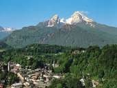
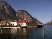
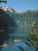
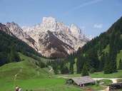
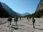
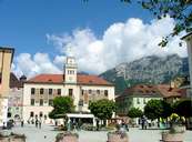
The district (Landkreis) of Berchtesgadener Land belongs to the alpine foreland ("Rupertiwinkel") and in the south to the Bayerischen Alpen (Bavarian Alps). Tourism plays an important role, above all in the south, but farming and medium-sized industries are also important. The Königssee lake and the Nationalpark Berchtesgaden (approx. 210km2) are very popular for excursions. After the Roman period the mining of salt brought both wealth to Bad Reichenhall but also warlike disputes. This saline spa still attracts visitors to the region. The main road over the so-called "kleine deutsche Eck" is the shortest connection between the provinces of Salzburg and Tyrol which also makes it an important transit route for Austria.
|
|
|
|
|
|
|
Further links: Weblink »Berchtesgadener Land«, Weblink »Wikipedia«