Tirol Atlas Archiv

tiroLexikon

^UP

Bildersammlung »Verbano-Cusio-Ossola«

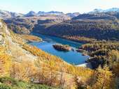
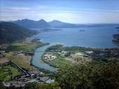
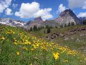
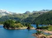
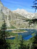
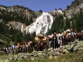
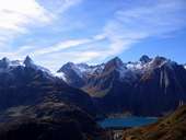
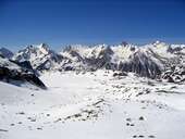
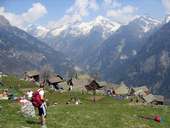
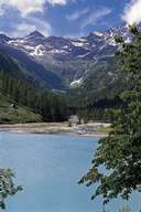
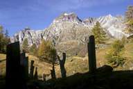
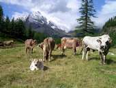
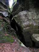
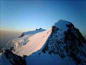
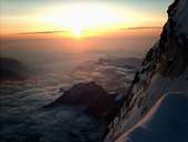
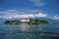
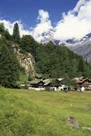
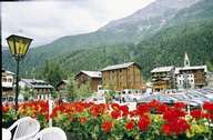
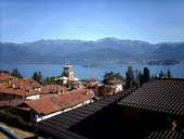
Verbano-Cusio-Ossola ist mit Höhenlagen zwischen 193m und 4.633m eine Provinz schier unendlicher alpiner Vielfalt, die mit "geräuschloser Schönheit verzaubert" (www.ossola.com). Weiterlesen →

Tirol Atlas image No.°10668
Stausee Codelago (1.856m) im Parco dell'Alpe Veglia e dell'Alpe Devero
Tirol Atlas image No.°11129
Der Fluss Toce mündet bei Fondotoce in den Lago Maggiore
Tirol Atlas image No.°10943
Monte Rosa mit Dufourspitze (4.633m)
Tirol Atlas image No.°10666
Bergwiese mit Alpenlöwenzahn auf der Alpe Devero
Tirol Atlas image No.°10669
Codelago
Tirol Atlas image No.°10671
Codelago mit Devero Gebirge
Tirol Atlas image No.°10939
Toce Wasserfall im Val Formazza
Tirol Atlas image No.°10935
Staudamm Morasco (1.815m) im Alta Val Formazza
Tirol Atlas image No.°10937
Val Formazza
Tirol Atlas image No.°10936
Valle Antigorio, Walsersiedlung
Tirol Atlas image No.°10657
Typische Spezialitäten
Tirol Atlas image No.°10660
Lago delle Fate, Macugnaga
Tirol Atlas image No.°10667
Steig zur Ebene von Sfondo Cervandone
Tirol Atlas image No.°10675
Veglia Gebirge
Tirol Atlas image No.°10938
Valle Antigorio, Orridi di Uriezzo
Tirol Atlas image No.°10941
Blick auf Zumstein (rechts) und Signalkuppe (links), von der Dufurspitze aus
Tirol Atlas image No.°10942
Monte Rosa, Ostwand
Tirol Atlas image No.°10659
Isola Bella, Lago Maggiore
Tirol Atlas image No.°10658
Isola Madre, Lago Maggiore
Tirol Atlas image No.°10661
Macugnaga
Tirol Atlas image No.°10662
Hauptplatz in Macugnaga
Tirol Atlas image No.°10676
Giardini Terrazzati
Tirol Atlas image No.°10673
Giardino all Italiana
Tirol Atlas image No.°10674
Giardino Valletta
Tirol Atlas image No.°11128
Die Gemeinde Stresa überblickt den Lago Maggiore
Übersichtskarte
Topografische Karte
  
Weiterführende Links: Weblink »Wikipedia«, tiroLexikon