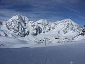
 Königspitze (3.851m), Monte Zebrù (3.735m) and Ortler (3.905m)
|
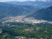 Basin of Bolzano
|
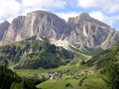 Kolfuschg/Corvara, Sellastock (3.151m)
|
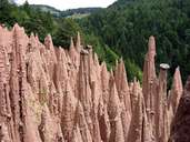 Earth Pyramids, Ritten
|
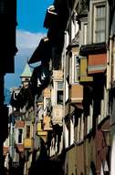 Bolzano, alcoves
|
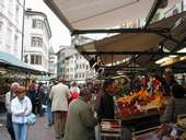 Market in Bozen
|
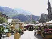 Waltherplatz in Bozen
|
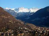 Bolzano/Bozen and Rosengarten
|
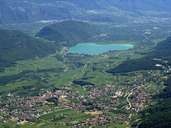 Kaltern and Kalterer See
|
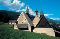 Drei Kirchen, Barbian
|
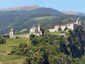 Monastery Säben in the Eisack Valley near Klausen
|
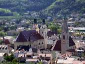 Brixen, cathedral
|
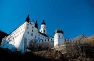 Convent Marienberg
|
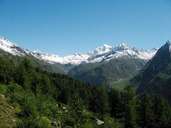 Ahrntal
|
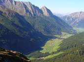 Pfitscher Tal
|
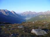 Val di Fizze
|
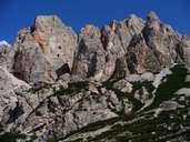 Fanes group
|
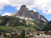 Corvara with a view to Sassongher
|
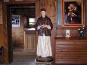 Saint Freinademetz, Abtei
|
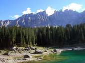 Karersee, Latemargruppe in the background
|
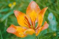 Wild Lily
|
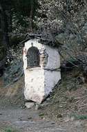 Teis
Teis
|
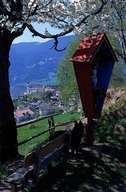 Lajen Tschöfes, crucifix
|
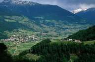 Blick in den Oberen Vinschgau
|
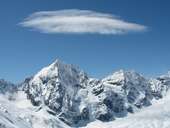 Gran Zebrù/Königsspitze (3.851m)
|
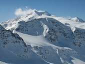 Monte Cevedale (3.769m)
|
 Topographic map
|
|