Tirol Atlas Archive

tiroLexikon

^UP

Image collection »Pustertal/ Val Pusteria«

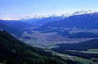
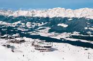
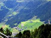
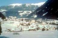
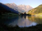
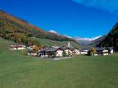
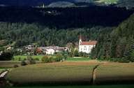
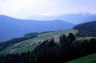
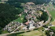
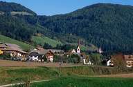
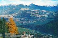
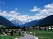
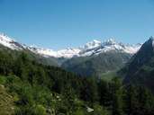
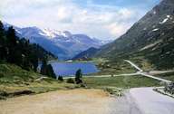
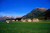
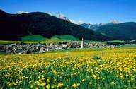
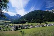
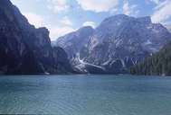
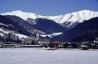
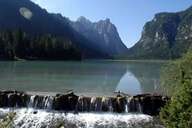
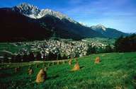
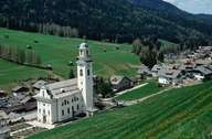
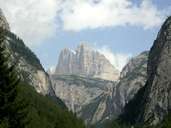
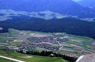
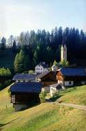
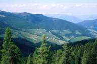
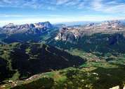
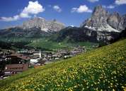
The district community of Pustertal, established in 1969, incorporates the communities of eastern South Tyrol and, from an area point of view, is the biggest district community in the province. The province is named after its main valley that is drained by the Rienz, whose extension forms the Drautal which is an important transport connection to East Tyrol. The administrative seat of the community is located at Bruneck. The town is one of the most important industrial areas in South Tyrol with a rapidly increasing population. Here the Gadertal, one of the last Ladin-speaking regions, runs into the main valley. The Tauferer Tal opens up to the north with its main town of Sand in Taufers and in its continuation makes up the Ahrntal. Further important towns along the Rienz are Olang at the entrance to the Antholzer Tal, Toblach and Innichen, the location of the oldest religious institution in the Tyrol. The numerous mountains and lakes are also characteristic of the Pustertal.

Tirol Atlas image No.°2423
Bruneck
Tirol Atlas image No.°6196
Ski-region Kronplatz
Tirol Atlas image No.°7658
Rein, Sand i.T.
Tirol Atlas image No.°6217
Gais
Tirol Atlas image No.°6188
Lake near Mühlwald
Tirol Atlas image No.°6228
Prettau
Tirol Atlas image No.°5162
Kiens
Tirol Atlas image No.°2721
lynchets of Terenten
Tirol Atlas image No.°6534
Vintl
Tirol Atlas image No.°5128
Percha
Tirol Atlas image No.°2281
Olang
Tirol Atlas image No.°6461
Niederrasen
Tirol Atlas image No.°7663
Ahrntal
Tirol Atlas image No.°1620
Staller Sattel
Tirol Atlas image No.°5150
Gsies
Tirol Atlas image No.°5118
Niederdorf
Tirol Atlas image No.°6505
Prags
Tirol Atlas image No.°6509
Pragser Wildsee
Tirol Atlas image No.°4805
Toblach
Tirol Atlas image No.°6510
Toblacher See
Tirol Atlas image No.°5154
Innichen in the upper Pustertal
Tirol Atlas image No.°5181
Sexten
Tirol Atlas image No.°6584
"Drei Zinnen" seen from South Tyrol
Tirol Atlas image No.°2381
Pfalzen
Tirol Atlas image No.°1365
La Val/ Wengen/ La Valle
Tirol Atlas image No.°2946
looking at Wellschellen, Gadertal, Mareo/ Enneberg/ Marebbe
Tirol Atlas image No.°5747
Badia/ Abtei
Tirol Atlas image No.°5739
Corvara/ Corvara i.B.
Overview map
Topographic map
   
Further links: Hazards Chronicle Tyrol, Weblink »Pustertal/ Val Pusteria«, tiroLexikon