Tirol Atlas Archive

tiroLexikon

^UP

Image collection »Salten-Schlern/ Salto-Sciliar«

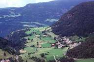
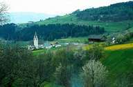
The district community of Saltern-Schlern is named after the Saltern an extensive high plateau on the Tschögglberg and the Schlernmassiv. It includes the communities of the lower Eisacktal between Bozen and Waidbruck as well as the communities on the Schlern and in Gröden, parts of the Regglberg and the Tschögglberg. The administrative seat of the district community is the provincial capital of Bozen, whereby the town itself does not belong to this district community. Gröden, one of the last Ladin-speaking areas in South Tyrol is famous for its wood carvings and offers good hiking and winter sports opportunities. A particular area for relaxation and interesting for tourists is also the Seiser Alm, one of the largest alpine pasture areas in Europe. The communities on the Salten together with the Sarntal, the largest community in South Tyrol, are in the main still farming regions. Important towns within the district community are Kastelruth, Vols am Schlern and Ritten.
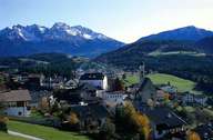
Tirol Atlas image No.°1057
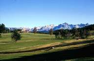
Deutschnofen, center
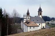
Tirol Atlas image No.°3114
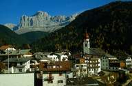
pilgrimage church Maria Weißenstein, Deutschnofen
Tirol Atlas image No.°1630
Deutschnofen
Tirol Atlas image No.°5171
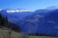
Welschnofen
Tirol Atlas image No.°2662
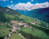
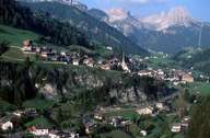
district Steinegg in front of Schlern and Rosengarten, Karneid
Tirol Atlas image No.°6224
Sëlva/ Selva V.G./ Wolkenstein i.G. with Sellagruppe
Tirol Atlas image No.°6215
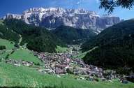
Urtijëi/ Sankt Ulrich/ Ortisei
Tirol Atlas image No.°6213
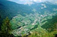
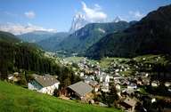
Urtijëi/ Sankt Ulrich/ Ortisei with Langkofel
Tirol Atlas image No.°5743
Tiers
Tirol Atlas image No.°6197
Santa Cristina/ Sankt Christina in Gröden/ Santa Cristina Val Gardena
Tirol Atlas image No.°2508
district Oberinn, Ritten
Tirol Atlas image No.°1848
Jenesien, cultivated landscape
Tirol Atlas image No.°1837
View of the Ritten
Tirol Atlas image No.°1143
Jenesien, center
Tirol Atlas image No.°6282
Sarnthein, Gemeinde Sarntal
Tirol Atlas image No.°6255
Penser Tal
Tirol Atlas image No.°2579
Penser Joch; Sarntal
Tirol Atlas image No.°1958
Kastelruth
Tirol Atlas image No.°1955
district Tisens, Kastelruth
Tirol Atlas image No.°2266
Mölten
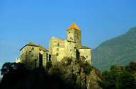
Tirol Atlas image No.°4817
Karneid, Karneid castle
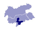
Overview map
Topographic map
  
Further links: Hazards Chronicle Tyrol, Weblink »Salten-Schlern/ Salto-Sciliar«, Weblink »Wikipedia«, tiroLexikon