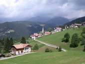
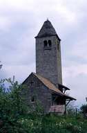
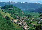
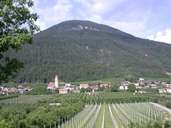
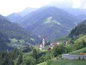
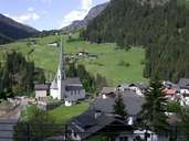
Image collection »Burggrafenamt/ Burgraviato«
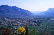
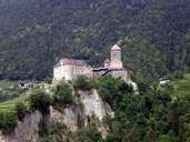
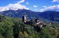
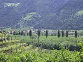
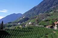
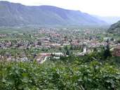
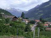
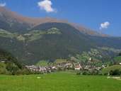
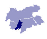
After the provincial capital of Bozen, the district community of Burggrafenamt has the highest population in South Tyrol and was established in 1971. Its administrative centre is Meran, The district includes the communities on the Deutschnonsberg and in part the Tschögglberg. The Burggrafenamt was already a united administrative district in the Middle Ages and represents the historical heartland of Tyrol. The large number of castles and fortifications gave the region its name which was also adopted by the district community. From Schloß Tirol the counts of Tyrol established the province of the Tyrol and ruled over it for a long period of time. Characteristic for the region are intensive fruit and wine-growing in the Etschtal. The relatively protected position and the resulting mild climate soon meant that Meran became a spa town and in this way also a tourist centre. Among the many attractions are the botanical gardens of Schloß Trauttmansdorff, the Forst brewery in Algund and the former mine on the Schneeberg in the Passeier. The "Sandwirt", the house where Andreas Hofer was born, is located in the same valley. The community of Hafling on the Tschögglberg lent its name to the Haflinger breed of horse.
