Image collection »Feldthurns/ Velturno«
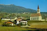
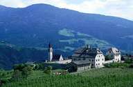
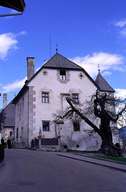
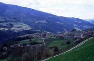
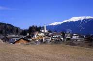
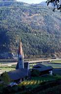
Feldthurns, south of Brixen, stretches from the right side of the bottom of the Eisacktal up to the summits of the western Sarntaler Alps. Feldthurns is subdivided into smaller villages, hamlets and isolated farmhouses at an altitude of more than 1200 m above sea level. The central settlement with Castle Feldthurns (former summer palace of the Bishops of Brixen) is situated on a sunny terrace, which can easily be reached from Brixen and Klausen. In the lower parts of Feldthurns, orchards and vineyards are to be found, the higher parts of the slopes and terraces are characterized by pasture lands and fields of fodder maize. In addition to agriculture, small and medium-sized industrial and commercial enterprises, as well as tourism are the main sources of income in Feldthurns.
|
|
|
|
|
|
|