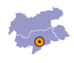
Image collection »Villanders/ Villandro«
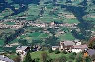
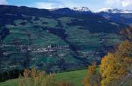
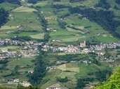
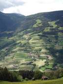
Villanders, south of Klausen, stretches from the slopes, west of the Eisack River, up to the mountain crests of the eastern Sarntaler Alps. In addition to a great number of isolated farmhouses, the village is subdivided into three settlements named after the church patron saints: St. Stefan (central village and administrative centre), St. Moritz and St. Valentin. The local economy is based on dairy farming, fruit-growing and wine on the sunny slopes and numerous workshops. In the late 1960's Villanders" remote geographical location ended, when a road from Klausen was built. This development has led to new building activities in the village.
|
|
|
|
|
|
Further links: Hazards Chronicle Tyrol, Weblink »Villanders/ Villandro«, Weblink »Wikipedia«, tiroLexikon
