Tirol Atlas Archive

tiroLexikon

^UP

Image collection »Vahrn/ Varna«

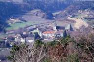
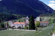
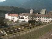
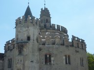
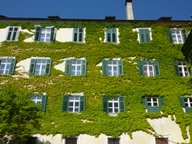
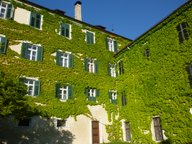
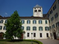
Vahrn is situated in the northwest of the Brixner Basin. The village encompasses the two settlements of Vahrn and Neustift in the valley, Schalders on the slopes of the Schalderstal and Spiluck north of the central village. In recent years a great number of new developments have been built in Vahrn, especially in its southern part along the Brenner Road, turning Vahrn into a suburb of the city of Brixen. The remaining cultivated land at the bottom of the valley and on the fan of the Schalderer Torrent is characterized by intensive fruit-growing and vineyards. The mountain slopes on the other hand are used as pasture land and for livestock. People in Vahrn suffer from the growing traffic, which on the one hand brings economic prosperity, on the other hand affects their quality of life.

Tirol Atlas image No.°2786
monastery Neustift and the district Neustift, Vahrn
Tirol Atlas image No.°3509
Monastery Neustift, Vahrn
Tirol Atlas image No.°3508
Monastery Neustift, Vahrn
Tirol Atlas image No.°9175
Monastery Neustift, Vahrn
Tirol Atlas image No.°11678
en:Engelsburg des Klosters Neustift bei Brixen
Tirol Atlas image No.°11674
en:Fassade im Innenhof von Kloster Neustift bei Brixen
Tirol Atlas image No.°11672
en:Fassade im Innenhof von Kloster Neustift bei Brixen
Tirol Atlas image No.°11675
en:Innenhof von Kloster Neustift bei Brixen
Tirol Atlas image No.°11676
en:Kapelle von Kloster Neustift bei Brixen
Tirol Atlas image No.°11680
en:Kirche des Klosters Neustift bei Brixen
Tirol Atlas image No.°11677
en:Kirchturm von Kloster Neustift bei Brixen
Tirol Atlas image No.°11679
en:Vorplatz des Klosters Neustift bei Brixen
Overview map
Topographic map
   
Further links: Hazards Chronicle Tyrol, Weblink »Vahrn/ Varna«, Weblink »Wikipedia«, tiroLexikon