Image collection »Pfitsch/ Val di Vizze«
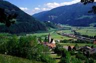
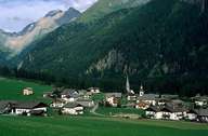
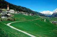
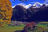
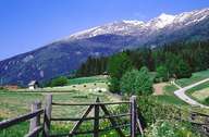
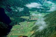
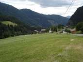
Pfitsch encompasses the Pfitschertal, a valley east of the Wipptal. The Pfitschertal stretches from the confluence of the Pfitscher Torrent and the Eisack River near Sterzing 36 km northeast to the Zillertaler Alps. The western border follows the Eisack River and includes the train station of Sterzing. The central village of Wiesen is situated in the lower part of the valley. Wiesen has expanded significantly due to new housing developments in recent years, which has led to increasing population and commuter figures. Further up the valley the small villages, hamlets and isolated farmhouses still show the importance of agriculture, though tourism is becoming more important.
|
|
|
|
|
|
|
|
Further links: Hazards Chronicle Tyrol, Weblink »Pfitsch/ Val di Vizze«, Weblink »Wikipedia«, tiroLexikon