Image collection »Vinschgau/ Val Venosta«
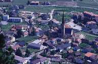
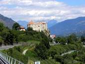
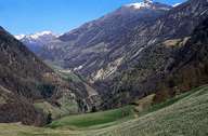
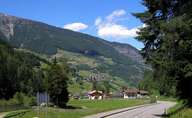
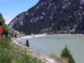
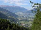
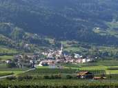
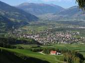
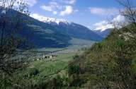
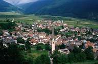
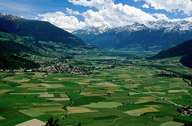
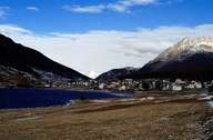
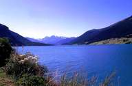
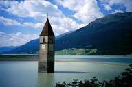
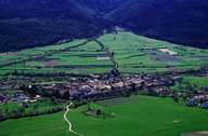
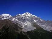
The district community of Vinschgau with its administrative seat in Schlanders was created through the union of the communities of western South Tyrol. This valley community includes the Etschtal from the Reschenpass to Naturns with Sonnberg and Nörderberg and the numerous little side valleys. The Via Claudia Augusta (Roman road) already led through the Vinschgau in Roman times, from which some milestones still exist, and gave an impetus to the valley as a transit area. Its inner alpine protected location and the deeply incised Vinschgau are responsible for the extremely low annual rainfall and have always made additional irrigation necessary. The valley locations are dominated by the cultivation of fruit whereby above all apples and apricots are grown, in the lower part of the Vinschgau vegetables and strawberries are grown as special cultivations in the Martell. Tourism plays a less important role but in this context the attractions of the Reschensee with its church tower of the sunken village of Graun as well as the little town of Glurns should be mentioned. The glacier skiing area in Schnals and the Ortler, South Tyrol's highest mountain, also lie within the jurisdiction of this district community. As a result of regional development programmes, the Obervinschgau has, over the last few years, also managed to catch up economically with the other regions in the province.
|
|
|
|
|
|
|
|
|
|
|
|
|
|
|
|
|
|