Image collection »Terenten/ Terento«
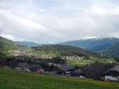
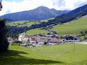
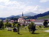
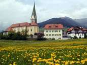
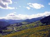
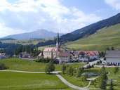
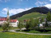
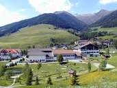
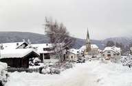
Terenten, which is subdivided into several settlements, is situated on a terrace above a steep slope composed of Brixner Granite on the northern side of the lower Pustertal. Terenten with its scattered hamlets on the slopes and the forest above it reaches up to the mountain crest of the neighbouring Mühlwaldertal. The village is located away from main traffic routes. Only in 1961 a road was built from Vintl up to Terenten. Since 1975 the extended road goes from Terenten to Pfalzen and Bruneck. New hotels and guest houses are indications, that tourism has already entered the "sunny terrace of the Pustertal".
|
|
|
|
|
|
|
|
|
|
|
Further links: Hazards Chronicle Tyrol, Weblink »Terenten/ Terento«, Weblink »Wikipedia«, tiroLexikon