Image collection »Mühlwald/ Selva dei Molini«
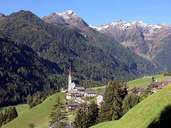
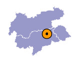
Mühlwald encompasses the entire Mühlwaldtal (except of its entrance). The two larger villages of Außermühlwald and Lappach, the vast scattered settlements, isolated farmhouses and the small hamlets are nearly all situated on the sunny slopes on the orographic left side of the valley. Mühlwald suffers from migration due to its remoteness and a lack of jobs. Jobs outside the farming sector are missing; therefore the majority of the working people have to commute.

|

|

|
|
