Tirol Atlas Archive

tiroLexikon

^UP

Image collection »Sarntal/ Sarentino«

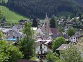
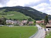
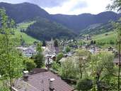
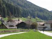
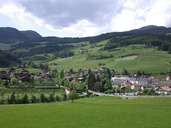
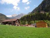
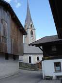
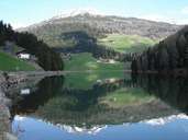
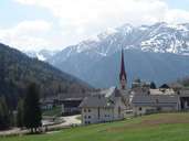
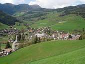
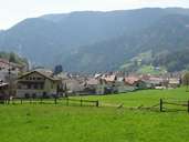
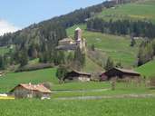
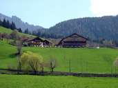
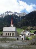
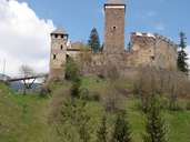
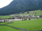
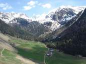
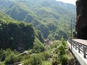
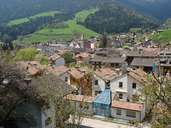
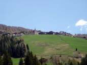
Sarntal has the largest surface area of all villages in South Tyrol. Sarntal consists of 28 villages, hamlets and isolated farmhouses. It encompasses the entire Sarntal, which stretches nearly 50 km from its entrance in the Bozner Basin to the Penser Joch Pass (passage to the Wipptal) in the north. The Talfer Torrent runs through the valley. Only the gorge-like lower part of the valley does not belong to Sarntal. The village starts at the road to Wangen/Ritten. The Sarntaler Alps surround the village in the shape of a horseshoe. The entances to the Penser and Durnholzer Tal are situated near Astfeld, after the expanding central village of Sarnthein (a.k.a. "the vilage").

Tirol Atlas image No.°6283
Sarntal, Gemeinde Sarntal
Tirol Atlas image No.°6279
Sarnthein
Tirol Atlas image No.°6282
Sarnthein, Gemeinde Sarntal
Tirol Atlas image No.°9555
Astfeld
Tirol Atlas image No.°6281
Sarnthein
Tirol Atlas image No.°9500
Dick near Bundschen
Tirol Atlas image No.°9543
Durnholz
Tirol Atlas image No.°9535
Lake Durnholz
Tirol Atlas image No.°9536
Lake Durnholz and Tellerjoch Spitze (2563 m)
Tirol Atlas image No.°9570
Pens
Tirol Atlas image No.°9512
Sarnthein
Tirol Atlas image No.°9521
Sarnthein (view from nord)
Tirol Atlas image No.°9506
Castle Reinegg
Tirol Atlas image No.°9511
Farmyard near Sarnthein
Tirol Atlas image No.°9568
Pens
Tirol Atlas image No.°9516
Castle Reinegg
Tirol Atlas image No.°9564
Weißenbach
Tirol Atlas image No.°9483
Tramin Valley and Tragwaldhorn (2708 m)
Tirol Atlas image No.°9498
Southern Sarntal
Tirol Atlas image No.°9519
Sarnthein (view from east)
Tirol Atlas image No.°9527
Reinswald (1558 m)
Overview map
Topographic map
  
Further links: Hazards Chronicle Tyrol, Weblink »Sarntal/ Sarentino«, Weblink »Wikipedia«, tiroLexikon