Image collection »St.Martin i.P./ S.Martino i. P.«
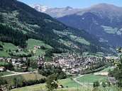
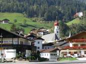
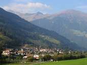
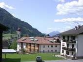
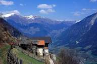
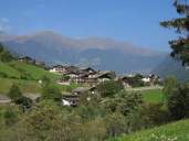
St. Martin is situated in the western side of the lower Passeiertal and stretches from the confluence of the Saltauser and Passer River near Saltaus, to Breiteben west of St. Leonhard. The village is subdivided into several settlement units, from which most can be found on the sunny slopes of the valley. The central village, characterized by building activities in recent years, has developed on a gentle slope along the Passer River, which forms the eastern border of the village. Since the opening of the bypass, St. Martin no longer suffers from through traffic. Agriculture has always shaped the cultural landscape in the village. At the bottom of the valley, various companies have been established.
|
|
|
|
|
|
|