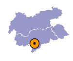
Image collection »Jenesien/ S.Genesio«
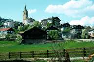
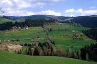
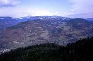
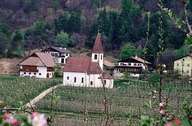
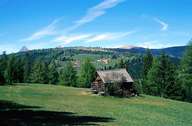
The wide streched area of Jenesien is subdivided into the settlements of Afing, Flaas, Glaning, Nobels and Jenesien. It is situated in the south-eastern part of the Tschogglberg region and reaches as the only village in this region down to the Talfer River, at the bottom of the Sarntal. The development of the village has been closely linked with the construction of the first Jenesier funicular (1937), which was renewed in 1980. The construction of the road from Bozen, which had taken decades to be completed, finally ended the geographical isolation of the village in 1983. This has had a significant impact on the local economy and the expansion of the village.
|
|
|
|
|
|
Further links: Hazards Chronicle Tyrol, Weblink »Jenesien/ S.Genesio«, Weblink »Wikipedia«, tiroLexikon
