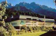
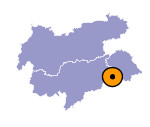
Image collection »Innichen/ S.Candido«
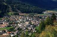
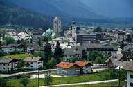
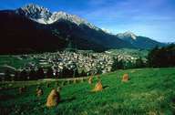
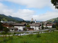
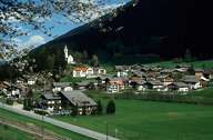
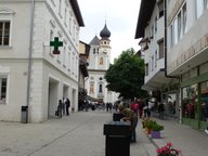
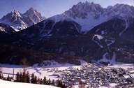
The market town of Innichen is situated at the confluence of the Sextner River, which has its source in the eastern Dolomites, and the Drau River. Innichen is subdivided into five settlements, from which all but Innichberg on the northern slopes, stretch along the bottom of the valley. Winnebach, the most eastern part of Innichen, is situated at the border to Austria. In the south, the market town reaches the Sextner Dolomites (nature reserve) as high up as 3000 m above sea level (summits of Haunold, Dresischusterspitz and Birkenkofl). Due to its geographical position and its traffic infrastructure, Innichen has become the centre of the upper Puster Valley.
Further links: Hazards Chronicle Tyrol, Weblink »Innichen/ S.Candido«, Weblink »Wikipedia«, tiroLexikon
