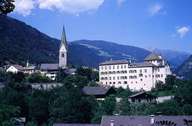
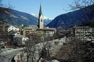
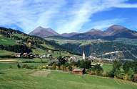
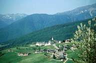
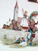
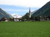
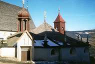
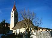
Image collection »Mühlbach/ Rio di Pusteria«
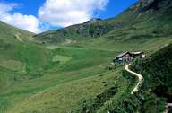
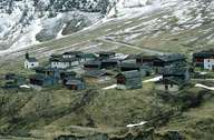
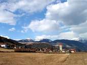
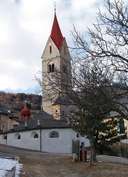
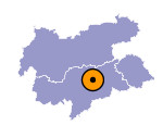
The compact market town of Mühlbach is situated on a terrace at the entrance to the Pustertal, 10 km northeast of Brixen. The high-valley of Vals in the north, which has experienced economic growth due to tourism, as well as Meransen, which - like Spinges - is situated on a terrace on the northern slope of the valley are parts of Mühlbach. Since the construction of the road, linking Meransen with the valley in 1975/78, and the development of the skiing area of Gitschberg, tourism has become the leading factor in the village. Mühlbach has always gained its income from the geographical location and the through traffic and the businesses connected with that (carriage business).
