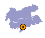
Image collection »Ritten/ Renon«
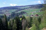
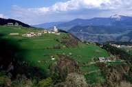
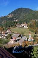
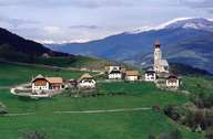
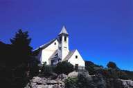
The village of Ritten is situated north of Bozen on the steep Porphyr Mountains and reaches till the Talfer Torrent in the west and the Eisack River in the southeast. Numerous hamlets and villages lie scatteredly on various levels: from the Eisacktal (Atzwang) over the vineyard covered incline with isolated farmhouses, up to the flat terrace and further up the steep slopes to the Rittner Horn mountain peak. The "Ritten" with its administrative centre of Klobenstein is a popular residential area and holiday resort. It has long been a popular summer resort for the people from Bozen. The "Ritten" can easily be accessed on roads and a funicular. The tracks of the tramway Klobenstein-Oberbozen are the remaining bits of the former Rittner Bahn Rack-Railway, which had its starting point in Bozen. There are numerous commercial and industrial enterprises in the village.
|
|
|
|

|
|
|
