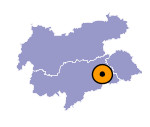
Image collection »Rasen-Antholz/ Rasun Anterselva«
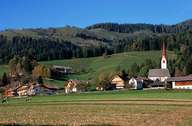
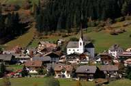
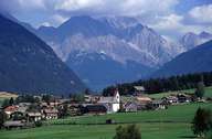
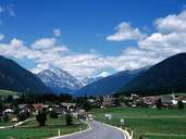
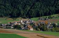
Rasen - Antholz, which has been an administratively independent village since 1955, is subdivided into several villages, hamlets and isolated farmhouses. The village encompasses the Antholzer Tal, north of the Pustertal, which has its entrance in the Olanger Basin east of Bruneck. Niederrasen, which is the administrative centre, is situated at the entrance to the valley. The Rieserferner Mountain Range Nature Reserve lies in the northern part of the Antholzer Tal. The road over the Staller Saddle links the valley with the Defereggental (East Tyrol). Tourism has become the main source of income for the village, which was long based on the revenues generated by agriculture. Additional jobs are provided in the commercial areas of Rasen and Antholz. Antholz gained international fame as a centre for national and international biathlon competitions.
|
|
|
|
|
|
