Image collection »Ratschings/ Racines«
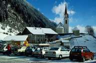
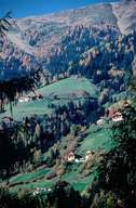
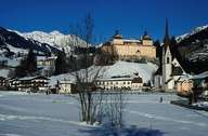
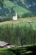
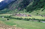
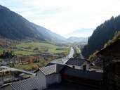
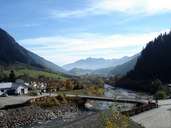
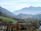
Ratschings, which is subdivided into several settlements, has the largest surface area of all villages in the Wipptal. The village encompasses the valleys of Ridnaun, Ratschings and Jaufen. The Ridnauntal, which starts in the Stubaier Alps, confluences at the Gilfen Gorge with the Ratschinger Tal near the village of Stange and with the Jaufental near the village of Gasteig and has its entrance in the Sterzinger Basin. The administrative centre is located in the hamlet of Stange in Außerratschings. The skiing area of Ratschings and the centre for cross-country skiing in Rinaun have led to an expanding tourism since the 1950's. The mine on the Schneeberg, between the Passeier- and Ridnauntal, existed till 1985. Today it is a museum. The "Ratschinger Marble", which is well visible in the Gilfen Gorge, is still quarried at Mareiter Stein.
|
|
|
|
|
|
|
|
|
|