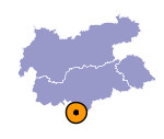
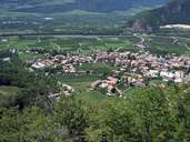
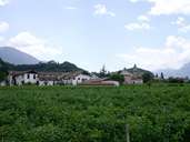
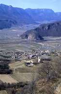
Image collection »Auer/ Ora«
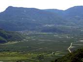
The market town of Auer, with its compact centre, is situated on the fan of the Holen Torrent. Auer is an important traffic junction in the Bozner Unterland region. In former times it was the place of the skiff over the river Etsch. Today Auer is located at the Brenner Highway, one of the most important traffic routes from south to north, and has an exit for the entire Unterland region. The road into the Fleimstal (through Kaltenbrunn, San Lugano), connecting the southern Regglberg and the villages around the Trudner Horn, starts in Auer. Auer has furthermore an important train station, where the Fleimstal Railroad linked Auer with Predazzo in the years between 1917 and 1963.
|
|
|
|
|
|
