Image collection »Meran/ Merano«
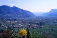
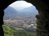
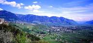
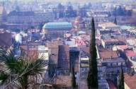
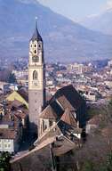
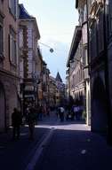
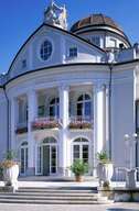
Meran is situated at the confluence of the Passer River, which comes through a narrow gorge in the north, and the Etsch River. Meran is the centre of the Burggrafenamt region and one of the oldest cities in the Tyrol. The city is located in a region characterized by its mild climate. The Texel Mountain Range in the northwest and the Passeier and Sarntaler Mountains in the northeast protect the region from the weather, enabling a Mediterranean and subtropical vegetation (for some plants Meran is their most northern habitat). Meran, including the settlements and quarters for the upper class of Gratsch, Unter-, Obermais and Sinich, with its medieval city centre and the famous arboured lanes, is South Tyrol's tourist centre. Meran's tourism has many facets: from the internationally known posh spa town, to ordinary tourists from all over the world to a congresses city.
|
|
|
|
|
|
|
|