Image collection »Mals/ Malles Venosta«
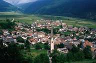
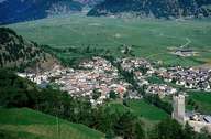
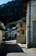
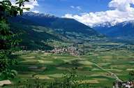
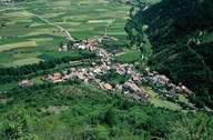
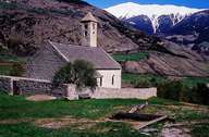
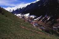
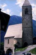
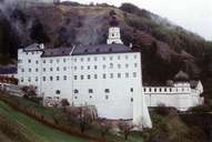
Mals, with its ten villages in the Upper Vinschgau Valley, is the second largest settlement in South Tyrol. The market town encompasses the Malser Haide. The central village of Mals lies southerly exposed at their foot. The village of Tartsch lies southeast of Mals. The villages of Laatsch, Schleis, Burgeis and Ulten-Alsack are situated along the edge of the fan. With the high-valley of Schlinig in the west, Mals reaches into the Sesvenna Mountain Range and has a border with Switzerland. The two high-valleys of Planeil and Matsch in the east reach into the Ötztaler Alps and are surrounded by massive mountains, of which many are higher than 3000 m (Weißkugel). The old market town lies at a strategically important point at the Reschenpass Road. Mals is the economic and cultural centre of the Upper Vinschgau Valley. Mals is the terminus of the Vinschgau Railroad (since 1906). The route was shut down in 1989 and reopened in 2005, after several years of reconstruction.
|
|
|
|
|
|
|
|
|
|