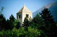
Image collection »Laas/ Lasa«
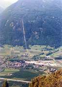
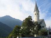
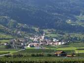
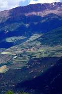
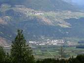
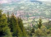
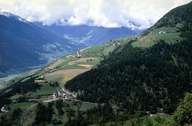
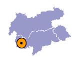
Laas, with the villages of Eyrs, Tanas, Tschengels and Allitz, is situated on either site of the Etsch River in the central Vinschgau Valley. It stretches from the Laaser Mountains (above 3000 m) in the south, which are part of the northern Ortler Mountain Range, to Tanas on the Sonnen Mountain in the north. The large deposit area of the Gadria Landslide, where the central village of Laas has developed at the lower end, forms the eastern border. Since the opening of the bypass in 1985, Lass has been away from the main roads. The white marble, which is quarried here, is well known and reflected in the architecture of the buildings. Eyrs, a booming industrial village, is constantly expanding towards the main road. 45% of Laas are part of the Stilfser Joch National Park.
