Image collection »Lana«
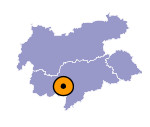
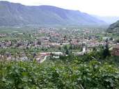
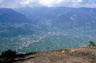
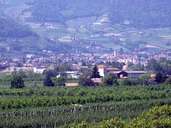
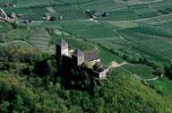
The market town of Lana is situated in the area of the Falschauer Torrent. Coming from the steep gap of the Gaul Gorge in the southwest, the Falschauer Torrent runs through vast gravel deposit areas to the Etsch River. Lana stretches on either side of the valley and on the slopes (Pawigl on the left and Völlan on the right side). Lana, with its three centres (Nieder-, Mittel and Oberlana) is situated close to Meran and is the second centre of the Burgrafenamt. The village is of regional importance with a good traffic infrastructure, a large industrial area, tourism and a successful fruit-growing agriculture. Population has grown more than 60% within the last few decades.
|
|
|
|
|
|
