Image collection »Lajen/ Laion«
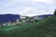
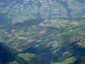
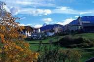
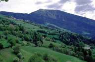
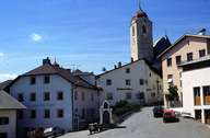
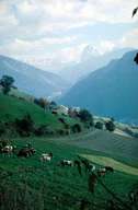
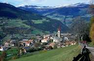
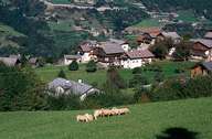
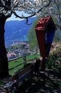
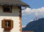
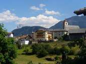
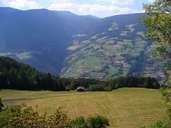
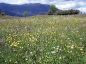
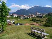
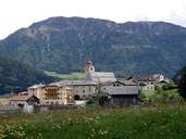
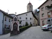
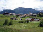
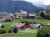
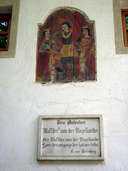
The village of Lajen is situated on a mountain crest, which stretches left of Klausen above the Eisacktal and gently up to the Raschötz Peak. The Villnösser Tal in the north and the Grödner Tal in the south form the natural borders of Lajen. The central village and some of the villages (Ried, St. Peter, Tanürz and Tschöfas) are located on the southern slopes of the lower Grödner Tal (border at Pontives). The Lajener Ried is a beautiful and unique landscape characterized by scattered isolated farmhouses, small forests, steppe-like dry grasslands, vineyards and meadows with scattered fruit trees. One assumes that the famous minnesingers Walther von der Vogelweide was born here. In contrast to this part of Lajen, the village of Albions and the scattered settlement of Freins are situated on the forested slope, facing the Eisacktal. The entire village of Lajen can easily be reached on a road starting in Klausen and running to Gröden.
|
|
|
|
|
|
|
|
|
|
|
|
|
|
|
|
|
|
|
|
|
|