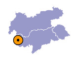
Image collection »Glurns/ Glorenza«
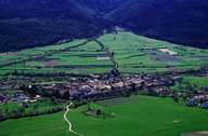
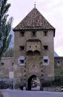
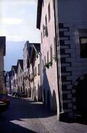
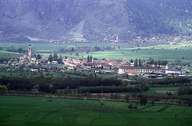
Glurns, the smallest of all towns in South Tyrol, is situated in the upper Vinschgau Valley at the entrance to the Münstertal (Switzerland) in the west, at the foot of the Malser Haide. Glurns developed as a stockyard for salt. In contrast to most of the old settlements and villages in the Vinschgau Valley, Glurns was built in the boggy floodplains at the bottom of the valley. Glurns is characterized by its friendly town square and the small lanes with their low arbours, where hardly any shops are to be found, but livestock finds shelter. Before the buildings were renovated in the 1970's and 80's Glurns had become dilapidated. Today the town with its city wall and the three city gates is an architectural treasure.
|
|
|
|
|
|
Further links: Hazards Chronicle Tyrol, Weblink »Glurns/ Glorenza«, Weblink »Wikipedia«, tiroLexikon
