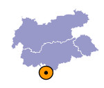
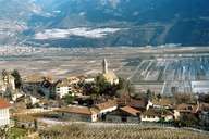
Image collection »Kurtatsch a.d.W./ Cortaccia s.s.d.v.«
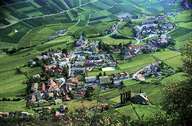
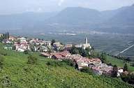
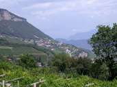
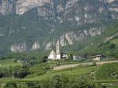
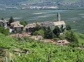
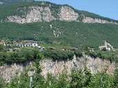
Kurtatsch, right of the Etsch River, is situated in the Bozner Unterland region and reaches up to the summit of the Mendel Mountain Range. The central village is situated above the bottom of the valley, at the foot of the Mendel Mountain Range, surrounded by vineyards and orchards. Well developed roads link several small hamlets and isolated farmhouses (between 600 and 1200 m above sea level) on the mountain slopes. Kurtasch's economy is based on fruit production. The bottom of the valley is characterized by apple and pear plantations, different types of grapes grow on the slopes.
|
|
|
|
|
|
|
|
|
|
