Image collection »Karneid/ Cornedo a.I.«
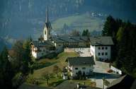
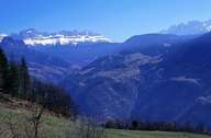
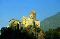
The "Karneider Mountain", which is a foothill of the Eastern Dolomites, is surrounded by three steep valleys. The rivers Eisack, Eggentaler River and Braien River running through these valleys and form the natural border of Karneid. Karneid is situated on the mountain crest and on the slopes of the mountain. It is subdivided into numerous villages: Kardaun (administrative centre) and Blumau have developed at the entrances of Eggen and Tierser Tal and due to their proximity to Bozen and their location on the Brenner highway. The villages of Karneid, Steinegg, Gummer and the young settlement of St. Veit and numerous scattered settlements on the other hand stretch along the mountain crest, which is characterized by farming and timber industry.
|
|
|
|