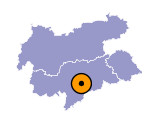
Image collection »Klausen/ Chiusa«
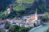
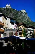
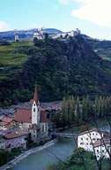
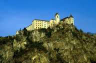
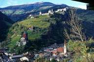
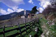
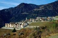
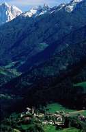
The city of Klausen is situated 10 km south of Brixen. The Abbey of Säben, above the city, was the first seat of a bishop in the Tyrol. Klausen stretches from a narrow gap in the Eisacktal, along the western slope, with the villages of Verdings and Latzfons, up to the eastern Sarntaler Alps, and to the eastern side with the village of Gufidaun in the lower Villnössertal. Klausen is the educational and economic centre of the central and lower Eisacktal. It is furthermore an important traffic junction along the Brenner Highway. The highway exit close to the city connects the entire central Eisacktal and numerous smaller valleys with the main north-south traffic route.
