Image collection »Kastelruth/ Castelrotto«
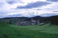
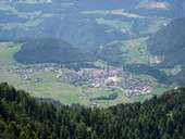
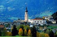
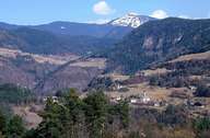
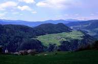
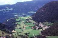
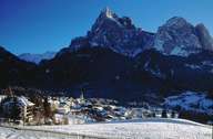
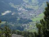
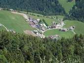
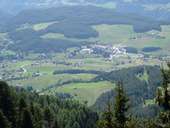
The young market town of Kastelruth is situated on a terrace in the lower Eisacktal. Two steep slopes down to the Eisack River and the Grödner River form the western and northern border. Half of the southern slopes of the Grödnertal, including the villages Überwasser, Runggaditsch and Pufels, where the majority of the people still speak Ladinic, belong to Kastelruth. The large central village of Kastelruth with its dominating church steeple and Seis, a centre for tourism, are situated at the foot of the Seiser Alm. In order to control further developments and housing sprawl, the well developed Seiser Alm Plateau - nearly half of the entire village - was declared a nature reserve.
|
|
|
|
|
|
|
|
|
|
|