Image collection »Freienfeld/ Campo di Trens«
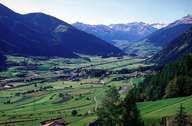
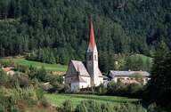
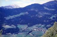
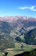
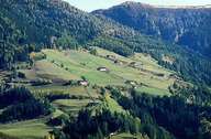
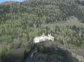
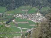
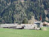
Freienfeld is situated south of Sterzing in the Wipptal. It encompasses the formerly administratively independent villages of Stilfes, Mauls and Trens. The small villages and hamlets stretch along the foot of the mountain slopes and fans on either side of the Eisack River. The bottom of the valley (Sterzinger Moos) is free of any settlement. Old buildings are relatively rare in the villages. The centre of Freienfeld is in a relatively recent development around the station. A road links Mauls with the farmhouses of Ritzail at an elevation of more than 1500 m. The famous pilgrimage site of Maria Trens also belongs to Freienfeld. The southern border of the village is the hilly deposition area of the landslide near Stilfes and the narrow gap (due to the bedrock - Brixner Granite) of the "Sachsenklemme".
|
|
|
|
|
|
|
|
|
|
|
|