Image collection »Brixen/ Bressanone«
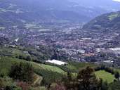
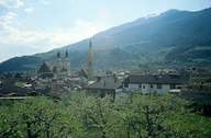
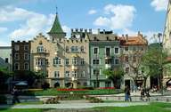
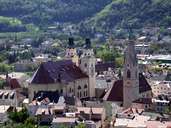
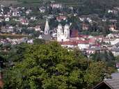
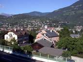
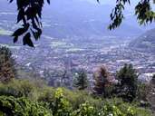
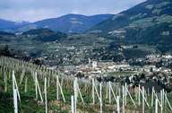
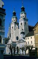
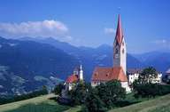
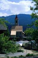
Brixen, at the confluence of the Eisack and Rienz River, is the oldest city in the Tyrol and the spiritual, cultural and economic centre of the Eisacktal. The historical centre includes the narrow arboured streets with beautiful houses and traditional guest houses and the district around the cathedral and the Episcopal Palace. Brixen is the third most populous settlement in South Tyrol. It encompasses surrounding villages, which stretch from the bottom to the terraces on the Pfeffer Mountain in the west, along the entire slope of the Plose Mountain in the east and the lower part of the Natzer Plateau. An industrial area is situated south of Brixen.
|
|
|
|
|
|
|
|
|
|
|
|
Further links: Hazards Chronicle Tyrol, Weblink »Brixen/ Bressanone«, Weblink »Wikipedia«, tiroLexikon