Image collection »Brenner/ Brennero«
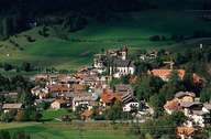
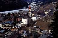
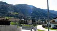
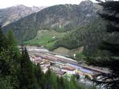
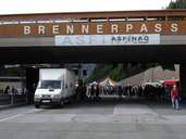
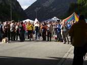
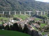
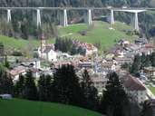
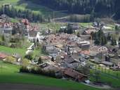
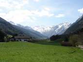
The village of Brenner encompasses the northern part of the South Tyrolean Wipptal and reaches up to the Pflerscher Tribulaun Mountain, where it has its highest point with 3097 m. The market town (since 1986) is subdivided into the border village (since 1919) with its train station, customs post and shops at the Brenner Pass (with its 1370 m the lowest pass across the main crest of the Alps), and the Gossensass as the centre. The compact village of Gossensass had long been a resting place at the bottom of the last incline before the mountain pass, before it became a ritzy spa town in the 19th century. This time is still reflected by the buildings dating back to this time in the village. The traffic from north to south was no longer forced to go through Gossensass after the construction of the Brenner Highway. After the dismantling of the border at the pass, the village of Brenner has lost its attractions among shopping tourists.
|
|
|
|
|
|
|
|
|
|
|
|
|
|