Image collection »Barbian/ Barbiano«
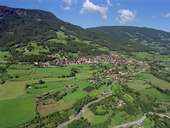
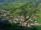
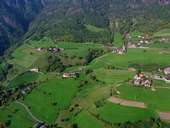
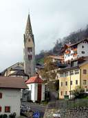
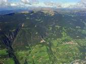
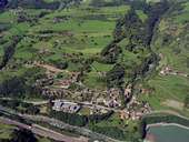
Barbian stretches from the bottom of the Eisacktal, over the right slopes of the valley, up to the Rittner Horn Peak. The village of Barbian is situated on a terrace 350 m above the valley. A well improved panorama road links the village with Waidbruck at the Brenner Highway. Another road winds its way up the Ritten. The village of Kollmann with its striking custom house from 1483 is situated at the point where different bedrock forces the Eisacktal to form a gorge. This had been the starting point for the western trail over the Ritten Mountain to Bozen till the modern times, when a road was built through the gorge. Barbian is well known for its chestnut trees.
|
|
|
|
|
|
|
|
Further links: Weblink »Wikipedia«, tiroLexikon