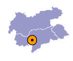
Image collection »Hafling/ Avelengo«
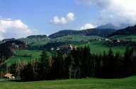
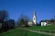
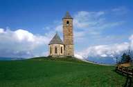
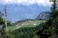
Hafling is situated in the north-western part of the Tschöggl Mountain. The village is characterized by scattered villages without a real centre. Locally one refers to "Heger"- and "Enderbach" (on this side and on the other side) of the Sinich Torrent, whereat the land around the Church of St. John the Baptist belongs to Hafling. An agglomeration has formed along the road to Falzeben. Before the opening of the road from Meran to the skiing area of "Meran 2000", there had only been a funicular to Hafling. Today Hafling gains its revenues from tourism.
|
|
|
|
|
|
Further links: Hazards Chronicle Tyrol, Weblink »Hafling/ Avelengo«, Weblink »Wikipedia«, tiroLexikon
