Tirol Atlas Archiv

tiroLexikon

^UP

Bildersammlung »Bludenz-Bregenzerwald«

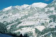
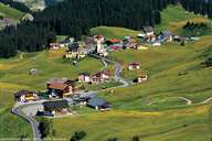
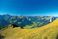
Die österreichische Nuts-3-Region Bludenz-Bregenzerwald bildet mit ihrer äußerst dünnen Besiedlung ein markantes Gegengewicht zum westlichen Teil Vorarlbergs, dem Rheintal-Bodenseegebiet. Hier - im Bregenzerwald, im Kleinen und Großen Walsertal, am Arlberg, in der Alpenregion Bludenz und dem Montafon - stehen Natur, Berglandwirtschaft und Tourismus im Vordergrund. Weiterlesen →

Tirol Atlas image No.°7993
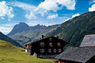
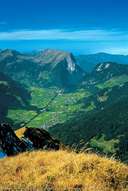
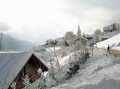
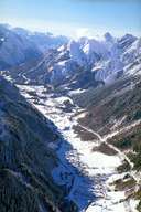
Walserhaus in Warth mit Widderstein (2.533m), Allgäuer Alpen
Tirol Atlas image No.°7888
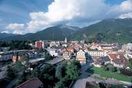
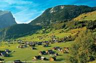
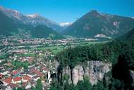
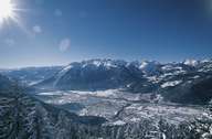
Bludenz: hier treffen sich Brandner Tal, Walgau, Montafon und Klostertal
Tirol Atlas image No.°7978
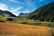
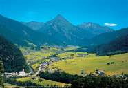
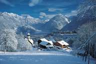
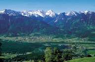
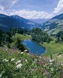
Sankt Gerold (848m) im Großen Walsertal
Tirol Atlas image No.°11043
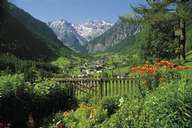
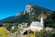
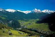
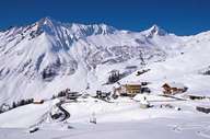
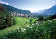
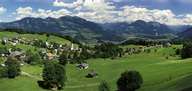
Brand (1.037m) im Brandner Tal mit Schesaplana (2.965m)
Tirol Atlas image No.°7994
Warth
Tirol Atlas image No.°7996
Warth mit Widderstein
Tirol Atlas image No.°7984
Bregenzerwälder Bergpanorama
Tirol Atlas image No.°7987
Kirche von Au mit Mittagsfluh
Tirol Atlas image No.°7991
Talkessel von Au, Schoppernau mit Kanisfluh
Tirol Atlas image No.°7981
Au und Schoppernau
Tirol Atlas image No.°7985
Au im Bregenzerwald
Tirol Atlas image No.°7982
Au und Schoppernau
Tirol Atlas image No.°7992
Wälderbähnle
Tirol Atlas image No.°7967
Blons
Tirol Atlas image No.°7970
Buerserberg
Tirol Atlas image No.°7971
Faschina
Tirol Atlas image No.°7972
Klostertal
Tirol Atlas image No.°7969
Buers
Tirol Atlas image No.°7973
Nenzing, Beschling
Tirol Atlas image No.°7974
Nueziders
Tirol Atlas image No.°11044
Bludenz
Tirol Atlas image No.°11046
Seewaldsee im Großen Walsertal
Tirol Atlas image No.°11045
Walgau
Übersichtskarte
Topografische Karte
Weiterführende Links: Naturchronik Tirol, Weblink »Wikipedia«, tiroLexikon