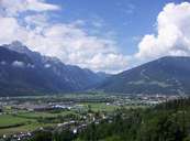
 Lienz e Nußdorf-Debant
|
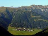 Obertilliach, Valle Gailtal
|
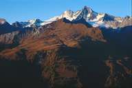 Großglockner (3.798m), Parco Naturale Hohe Tauern
|
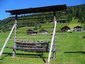 Valle Gailtal
|
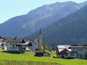 Kartitsch
|
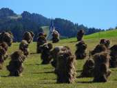 Heumandln, Tiroler Gailtal
|
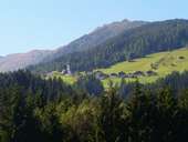 Hollbruck, Tiroler Gailtal
|
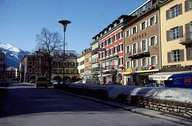 Lienz, centro
|
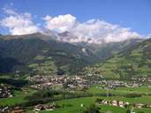 Matrei in Osttirol
|
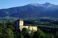 Lienz, il castello Bruck
|
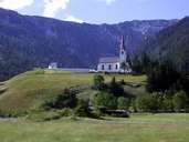 St. Jakob bei Strassen
|
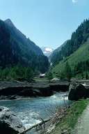 Virgental, Umbaltal
|
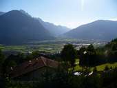 Lienzer Becken
|
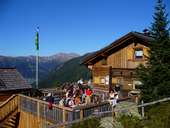 Neue Porzehütte
|
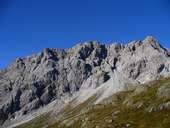 Porze, 2.589 m
|
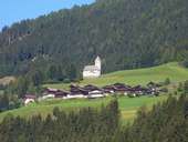 St. Johannes, Tessenberg
|
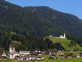 Strassen, Val Pusteria
|
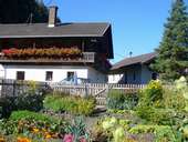 Fattoria sul Drau, Pustertal
|
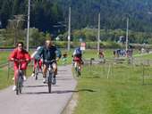 Pustertal, pista ciclabile
|
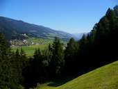 Strassen und St. Jakob im Pustertal
|
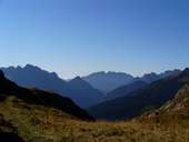 Vista da Tilliacher Joch direzione Sud
|
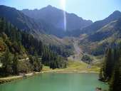 Klapfsee, 1670 m
|
 Carta topografica
|
|