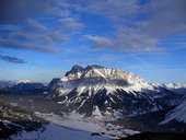
 Zugspitze (2.964 m)
|
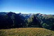 Lechtaler Alpen near Namlos
|
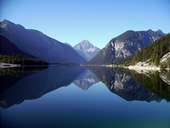 Plansee and Thaneller (2.341m)
|
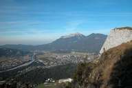 Reuttener Becken from ruin Ehrenberg
|
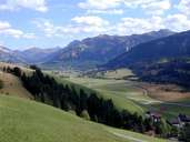 Tannheimer Tal
|
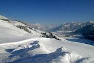 Tannheimer Tal
|
 Bridge at Gaichtpass (Gemstobelbrücke)
|
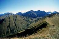 Roter Stein
|
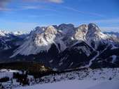 Sonnenspitze (2412 m), Wamperter Schrofen (2520 m), Skiing Resort Biberwier
|
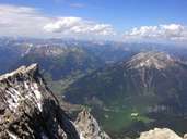 Lermoos
|
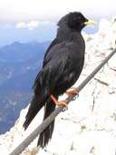 Alpendole
|
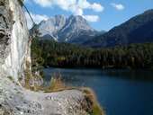 Lake Blind
|
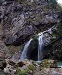 Vilsfall near Schattwald
|
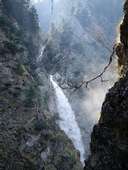 Sabach cascade
|
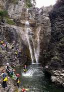 Stuibenfälle near Reutte
|
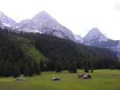 Ehrwalder Pasture
|
 Topographic map
|
| | |